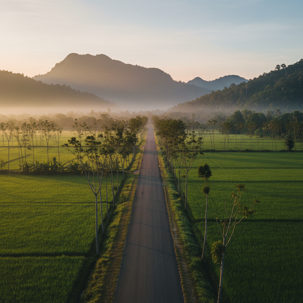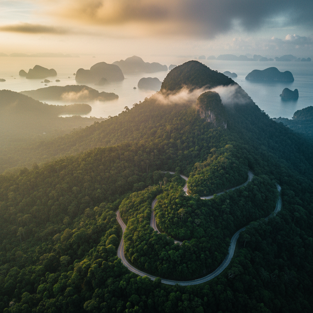
Aerial view of Gunung Raya rainforest mountain rising over Langkawi's coastline at dawn
TCB Norseman LGK Challenge · Langkawi, Malaysia

Swim the island.
Climb the mountain twice.

Built in the spirit of Norway's Norseman Xtreme Triathlon — an island loop with no easy way through: an open-water crossing, a point-to-point ride over Langkawi's hardest paved climb, and a trail half marathon that sends you back up the same mountain, on foot, hours after you rode over it.

This is where the plan stands today — the course and dates may still evolve before launch. Register interest and we'll send the confirmed details to this list first.
1.9 KMOpen water swim
90 KMPoint-to-point ride
21 KMTrail half marathon
881 MSummit — climbed twice
Not For Everyone

There's no medal for showing up.

TCB Norseman LGK Challenge borrows its format from Norway's Norseman Xtreme Triathlon: point-to-point, self-sufficient, built around terrain that doesn't negotiate. No stadium finish, no closed loop — just an island, a channel, and a mountain that shows up twice whether you're ready for it the second time or not.

This isn't a bucket-list finish line. The course doesn't get easier because you already climbed it once, and the camp built around it won't either. If you're chasing a personal best, there are faster ways to get one. If you're chasing something harder to explain — that's what this is for.

Summit Gunung Raya twice in one day, inside cutoff, and you'll leave with more than a finisher tee — details on that, to be announced.
The Course

One island. Three disciplines.
The mountain shows up in two of them.

Every leg is a real place, not a lap. The full course runs point-to-point across Langkawi — from a legendary limestone island, across village backroads, over the state's toughest paved climb, and back up it again on your own legs.

01 — Swim

Pulau Dayang Bunting → Pantai Tengah

1.9 kmDistance
Open waterFormat
EscortedSupport

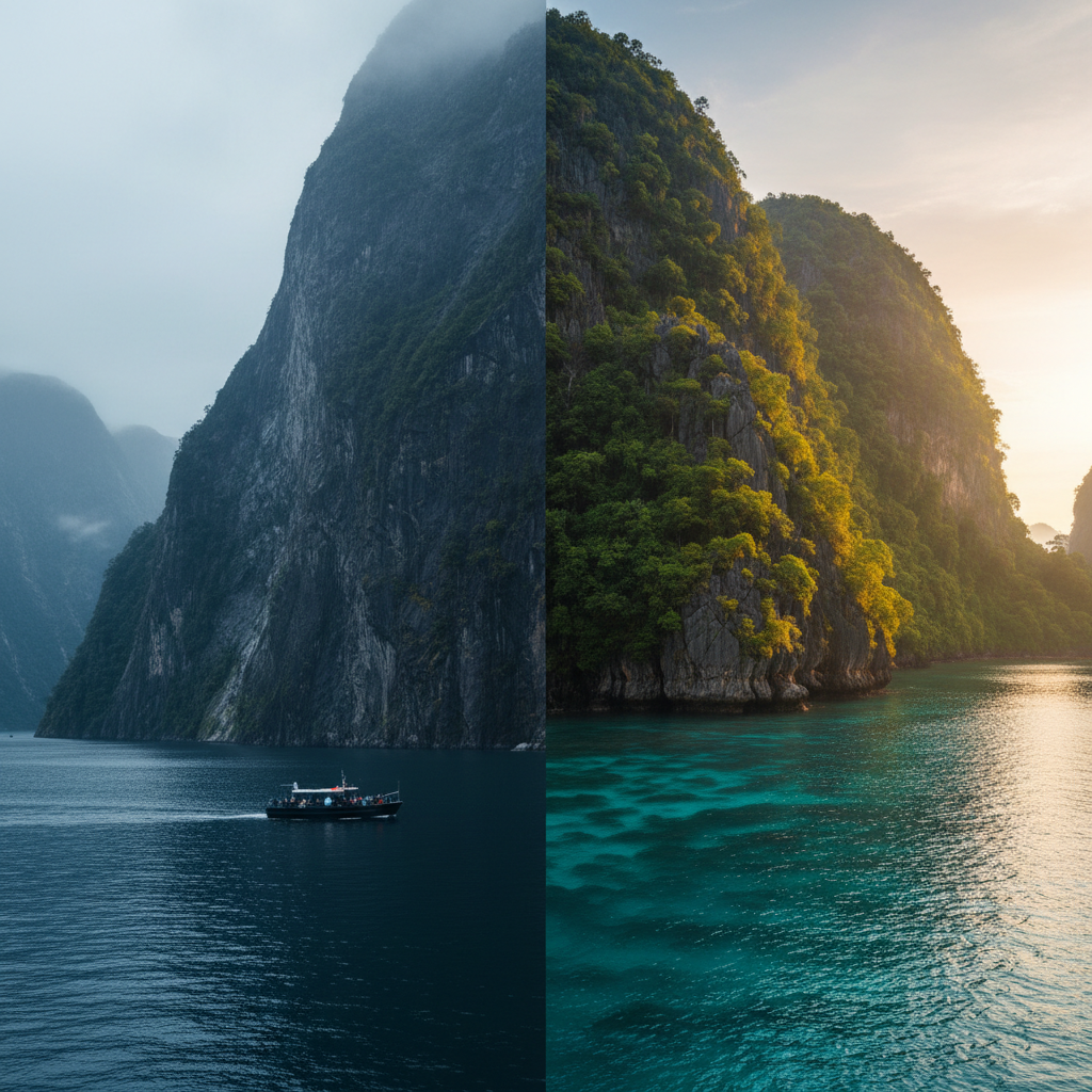
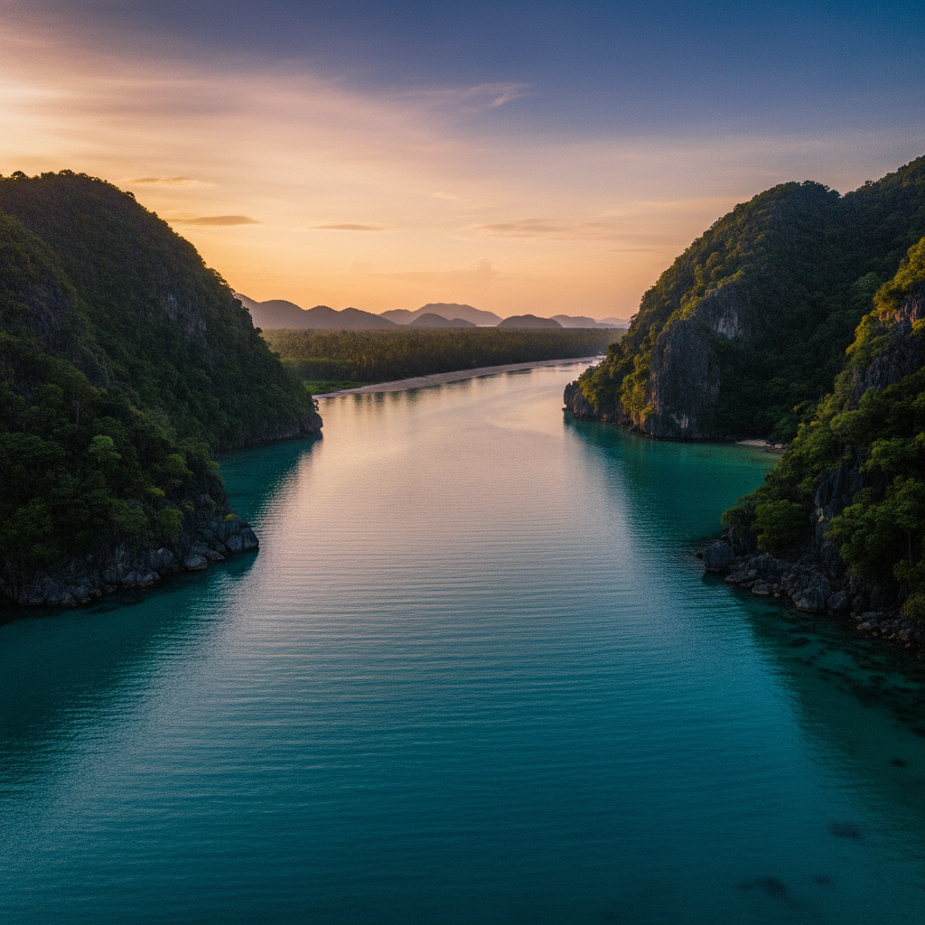
Off the boat near Pulau Rebak Kecil at the mouth of the channel, sighting on the treeline of the Island of the Pregnant Maiden behind you and the resort roofline of Pantai Tengah dead ahead. Warm, sheltered water — the current runs with you, not against you.

Zero elevation. Enjoy it — it's the only leg that stays flat.
Turquoise open water channel between limestone islands near Pulau Dayang Bunting, Langkawi
02 — Bike

Pantai Tengah → Datai → Gunung Raya → Tanjung Rhu → Lubuk Semilang

90 kmDistance
~900 mClimbing
881 mSummit — 1st time

North on jalan kampung — the village backroads through rice paddies and rubber smallholdings that the tour buses never find — up to the Datai peninsula. Then straight onto Jalan Gunung Raya: roughly 13 km, averaging 6%, with pitches into the low teens near the top. Over the summit and down the far side to the limestone bay at Tanjung Rhu, then inland to finish riding at the Lubuk Semilang waterfall park.

Same climb Ironman Malaysia riders fear — one lap of it, not two.
Quiet paved village backroad through rice paddies in rural Langkawi
03 — Run

Lubuk Semilang → Gunung Raya summit → Lubuk Semilang

21 kmDistance
881 mSummit — again
TrailSurface

Off the bike and onto the trail that starts at the waterfall park — steeper and shorter than the paved road you just rode, roughly half the distance to the top, none of the gears to spin through it. Out to the summit trig point, then back down the same switchbacks to finish where you started.

No downhill to freewheel. You climb it, then you run down it, then you're done.
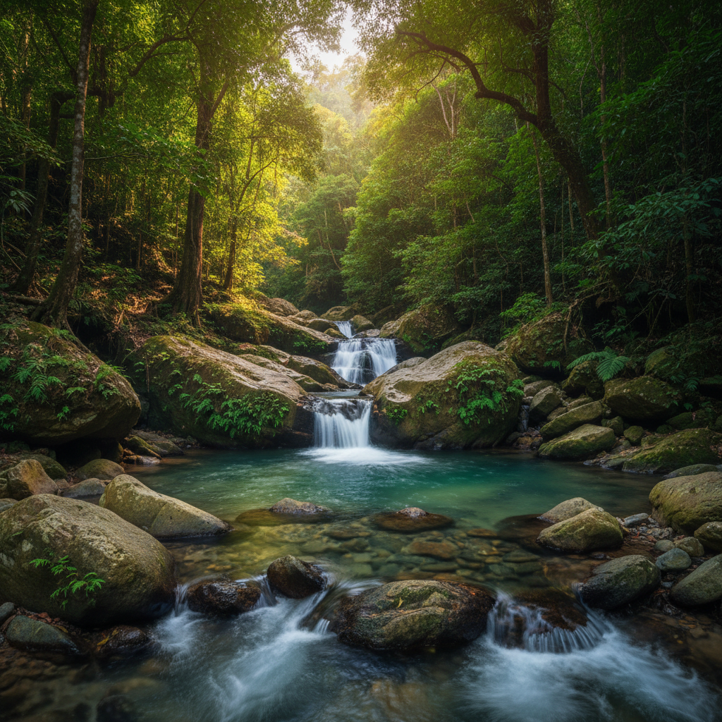
Jungle stream and waterfalls at Lubuk Semilang, at the base of Gunung Raya
The Profile

The same 881 metres, twice.

Jalan Gunung Raya is the defining climb on Ironman Malaysia's course — and the reason this loop exists at all. TCB's course puts it in front of you twice in one day, its own echo of Norseman's summit-or-not finish at Gaustatoppen: once with 90 km already in your legs, once with nothing left to spend.

0m 450m 900m GUNUNG RAYA · 881M BY BIKE · KM 55 GUNUNG RAYA · 881M AGAIN · KM 103 T1 T2 FINISH 0 20 40 60 80 100 113 CUMULATIVE DISTANCE — KM
Swim · 1.9 km Bike · 90 km Run · 21 km

Profile is schematic — built from published stats for the Jalan Gunung Raya climb (≈13 km, avg. 6%, pitches to 12–15%) rather than a surveyed trace of TCB's exact course. Final route and distances are subject to confirmation ahead of the pilot camp.

881m · Rendered in 3D
The Ground

Real places, in this order.

Nothing here is a closed loop or a stadium lap. You leave from one side of Langkawi and finish on the other, with a mountain in the middle you'll meet twice. The line below is routed over real Langkawi roads and trails, not drawn by hand.

Download GPX Indicative route file — for planning, not a surveyed race course.
  1. 01
    Pulau Dayang BuntingSwim start — boat drop near Rebak, in the marine park waters south of the mainland.
  2. 02
    Pantai TengahSwim finish → T1 → bike start, heading north on kampung backroads.
  3. 03
    DataiNorthern tip of the island — rainforest canopy, then the foot of Jalan Gunung Raya.
  4. 04
    Gunung Raya, 881mLangkawi's highest point. Summited once by bike, once on foot.
  5. 05
    Tanjung RhuDescend to the limestone bay on the north coast, then turn inland.
  6. 06
    Lubuk SemilangBike finish / T2, run start and finish — waterfall park at the mountain's base.
Getting There

Fly or float in — the loop starts either way.

By Air

Langkawi Intl. (LGK)

Daily domestic connections from Kuala Lumpur and Penang, roughly 15 minutes' drive from the Lubuk Semilang camp base.

By Ferry

Kuah Jetty

Regular sailings from Kuala Kedah (~1h45), Kuala Perlis (~1h15), and Georgetown, Penang (~2h45) — times vary by operator and tide.

Getting Around

Grab, or your own wheels

It's one connected road network end to end. Rental cars, scooters, and Grab cover everything except the 1.9 km you'll be swimming.

Why TCB

Train on the terrain, not around it.

Most training camps hand you a route map and a hotel key. TCB is built the other way round — the camp exists because this specific loop exists. Coached sessions are staged around the real gradients, the real crossing, the real trail, so race day in Langkawi (or anywhere with a mountain in the middle of it) stops being a surprise.

Small groups, terrain-led coaching, and a course that doesn't get easier because you already did the climb once.

LocationLangkawi, Kedah, Malaysia
FormatCoached training camp
Group sizeSmall, limited spots
Course1.9 / 90 / 21 km, point-to-point
DatesTo be confirmed — pilot camp
Get On The List

Register interest.

TCB Norseman LGK Challenge's pilot camp has limited spots. Leave your name and email and you'll hear about dates, pricing, and applications before anyone else does.

No spam — just camp news. Unsubscribe any time.